
A Narrow Gate
The long history of the Khyber Pass (from the archives)

For reasons that are probably obvious, I’ve been thinking lately about geographical chokepoints and the ways they have shaped human history. Next week, we’ll officially start that series with a post on the tangled history of the Strait of Hormuz. But today, here’s one from the archives as a bit of a teaser on one of the most important land chokepoints in human history. As always, you should subscribe… and if you want to help keep this project afloat, consider becoming a paid subscriber:
It’s telling, but not particularly surprising, that the border between Pakistan and Afghanistan is named after a British guy.
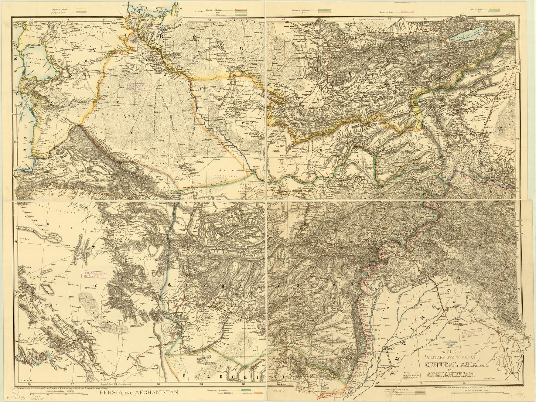
For decades, the British played the so-called “Great Game,” extending their influence into what we now call Afghanistan to check the southward progress of Russian influence. But it was never quite clear where British India ended and the authority of the various local rulers to the north began. This 1879 British map of the area shows why — the terrain in the region is dominated by imposing mountain ranges.
Enter Henry Mortimer Durand, an archetypal British imperialist. The son of a British military official in India, he spent time at the finest schools in England and then returned to India to take up the “white man’s burden.” He negotiated with Abdur Rahman Khan, the Amir of Afghanistan, to create an official border between British India and Khan’s territory, establishing Afghanistan as a buffer state between British and Russian possessions.
The Durand Line was, in many ways, like a lot of colonial borders. It did not, for example, take into account local ethnic realities (the line divided the Pashtun people). But it did reflect some geographical realities, most notably the Spin Ghar Mountains. Durand chose this range — which presents an almost continuous wall of 10,000-foot-plus mountains — as the natural border between the two political entities. Here’s what the range looks like from Jalalabad, Afghanistan:
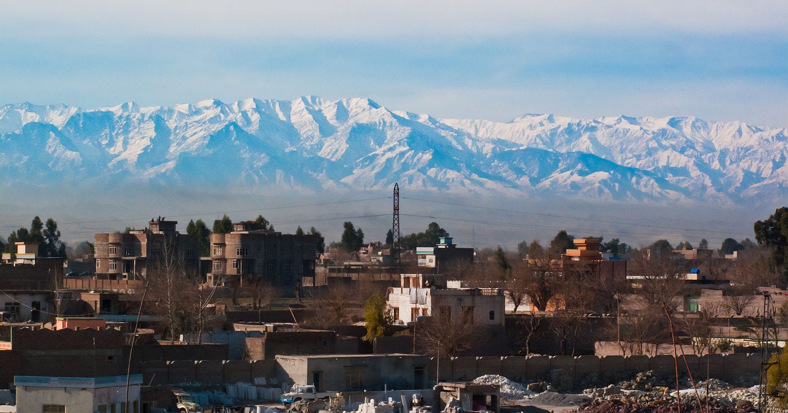
Doesn’t look particularly passable, does it?
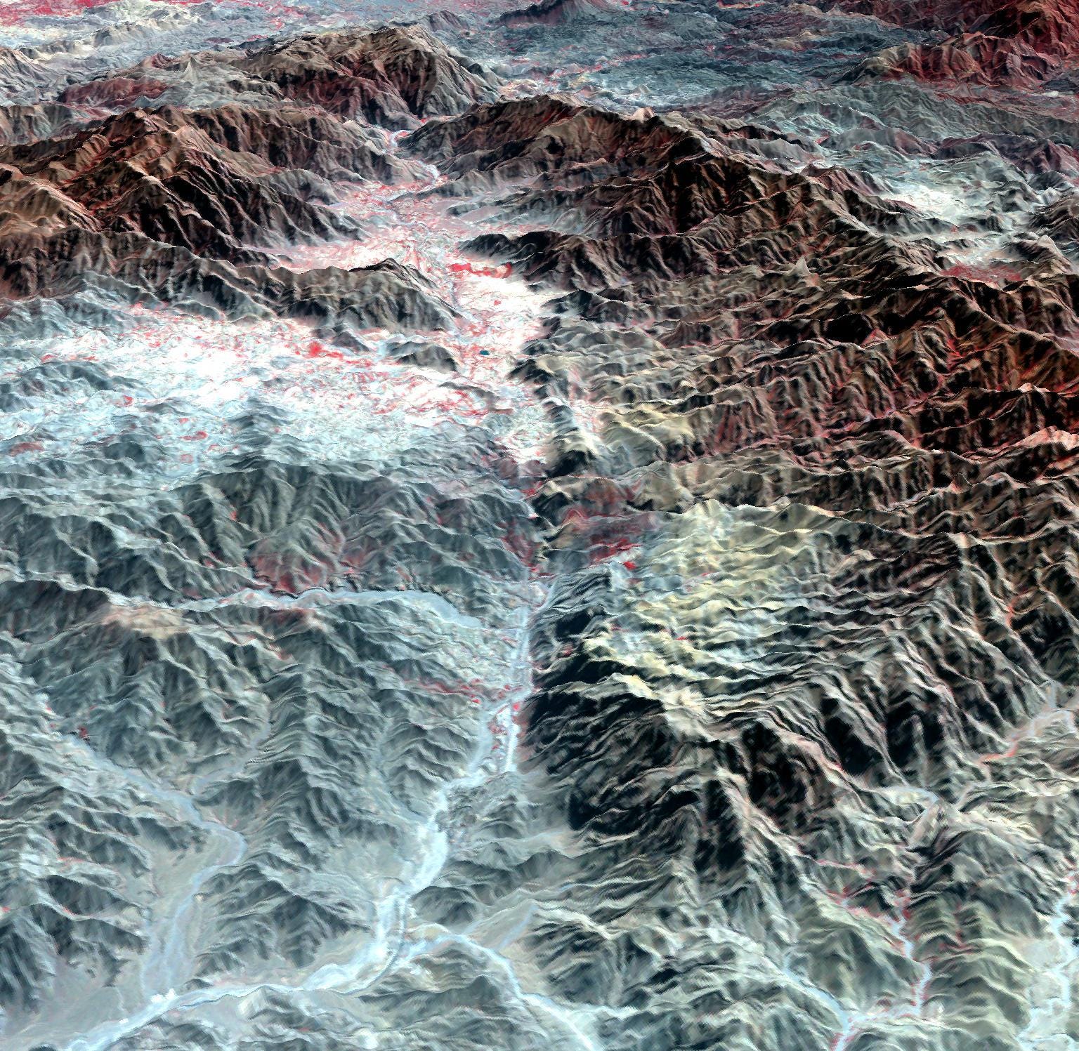
The Spin Ghar range may look mighty, but two modest flows of water have managed, over scales of time unimaginable by humans, to carve out a passage through it. This narrow path — winding through a gorge between steep rock walls — is the Khyber Pass.
You can get a sense of the geography from this image, collected by a joint Japanese-American mapping satellite, which shows the pass threading its way through the Spin Ghar:
The Khyber Pass has been an important place for thousands of years, a portal between Central Asia and South Asia, between East and West. It’s been a key trade route, a point of cultural contact, and a launching pad for invasions. It’s one of those in-between places on Earth where all the interesting stuff happens.
It was through this narrow passage that Indian cultures communicated by land with the rest of the world. It’s the way that people — from migrants like the Indo-Aryan people to invaders from Greece and Persia — made their way toward the great civilizations along the Indus River. But it’s also the way that Buddhism, one of India’s greatest cultural exports, moved into the rest of the world, soon to travel along the trade routes in Central Asia, around the Himalayas, and on to China.
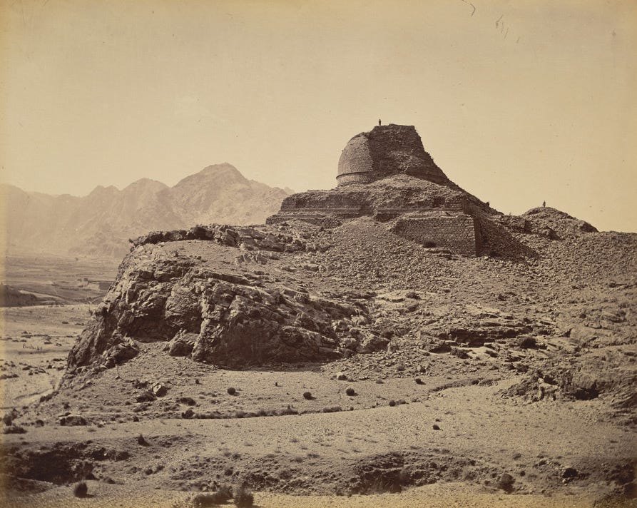
Though the area around the Khyber Pass is firmly Muslim today, there are still remnants of the great Buddhist kingdoms that once ruled over this region. An ancient stupa still commands a view of the valley below at Sphola, as seen in this photo from 1878. The stupa is now a Pakistani Frontier Constabulary post; its high position is still very useful.
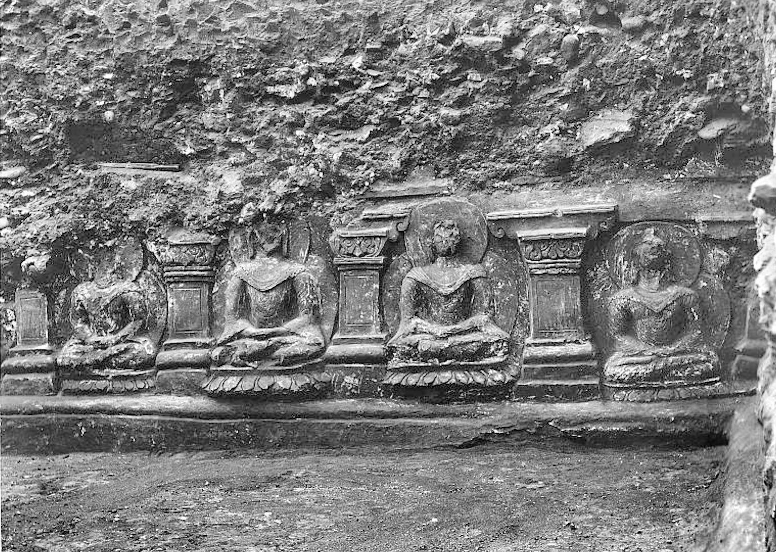
The Sphola Stupa was probably small potatoes compared to another stupa erected in the pass by the great king Kanushka of the Kushan Empire in the 100s CE. Though not much remains of the original structure — which may have soared as high as 400 feet into the sky — parts of its base remain, seen here in an excavation photo from 1910:
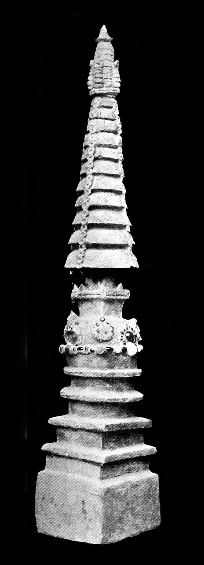
The stupa may have looked like this replica, found nearby:
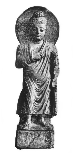
Early twentieth-century archaeologists found remarkable artworks in the stupa’s ruins, like this Buddha:
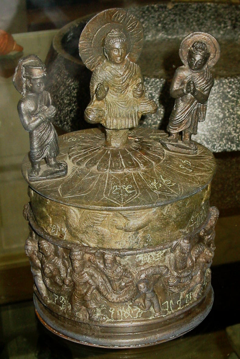
And the Kanishka Casket, which contained relics of the Buddha:
The oldest Buddhist texts found anywhere in the world come from this region, as well:
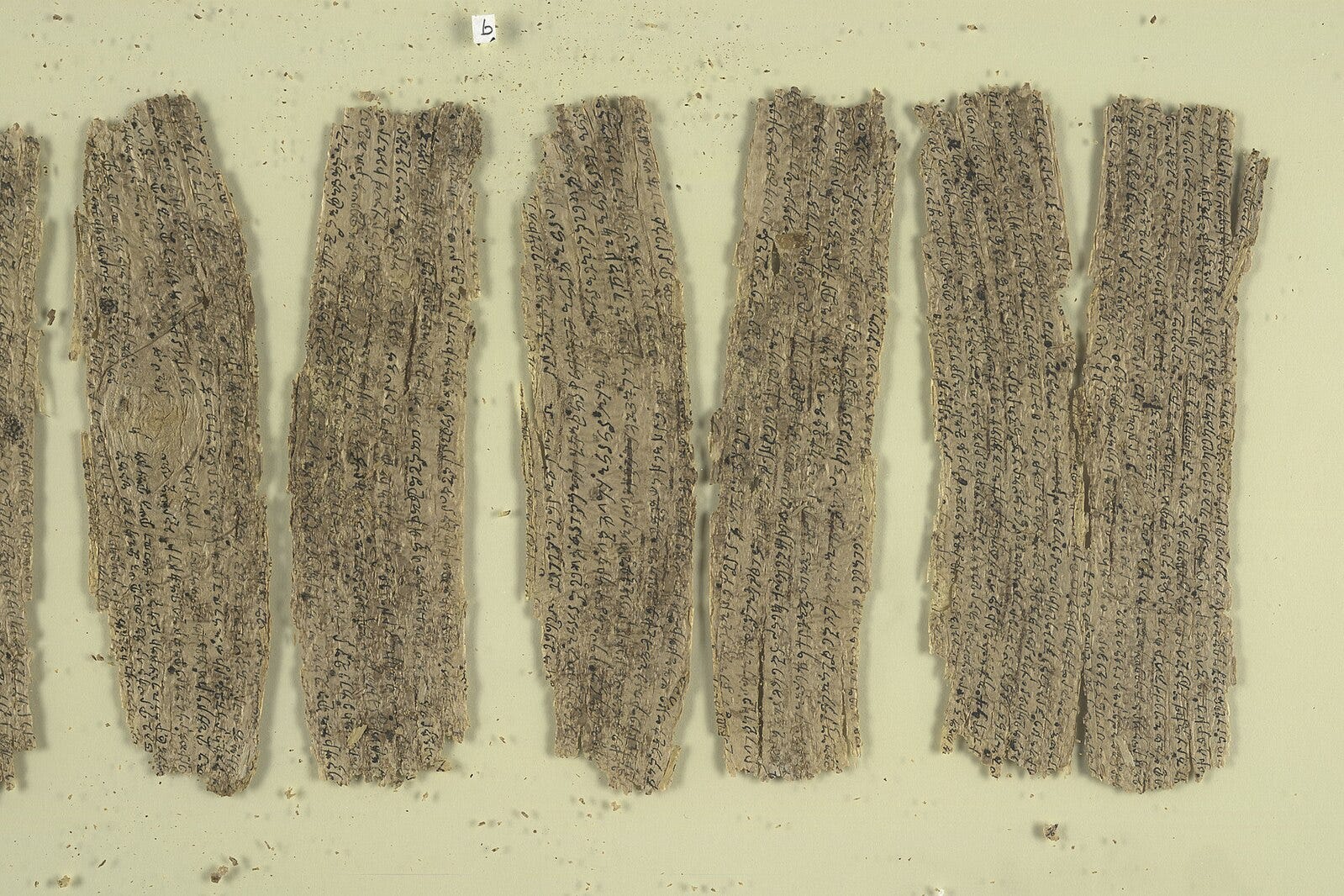
The vibrant Buddhist kingdoms of the ancient era gave way to Islamic empires in the Middle Ages. As oceangoing trade became more important, the Khyber Pass lost some of its significance as a conduit of trade and culture, but it remained a vital military passage.
If you wanted to invade India, you probably had to come through the Khyber Pass. Mahmud of Ghazni used the pass 17 times in his assaults on the subcontinent around the year 1000. Genghis Khan took the Mongol hordes through it in the 1200s. Babur traversed the pass to found the Mughal Empire in the 1500s. And the Safavid Shahs of Iran pushed through the pass in their assaults on India in the 1700s.
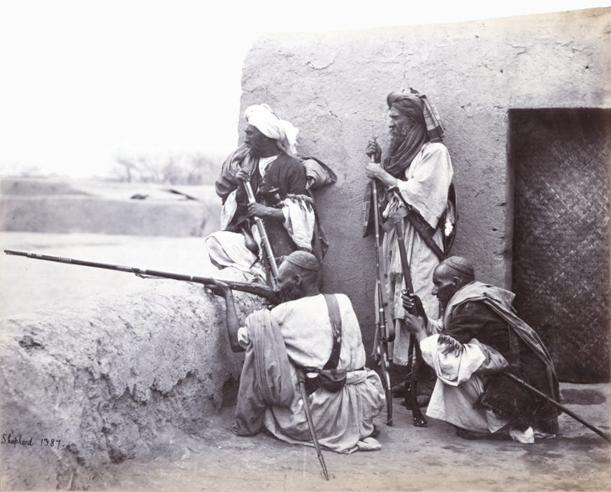
But, despite the armies that traveled through the pass, the mountainous region around it was often only nominally a part of the big empires that used it. Most of the time, the local people — known as the Afridis by the 1600s — maintained a fierce independence. They gained a reputation as impressive fighters:
By the nineteenth century, the British arrived to play the aforementioned “Great Game,” competing with Russia for the allegiance of various groups in Afghanistan. Control of the gateway to Afghanistan was essential to the British imperial project, so the pass once again became a hotly contested area.
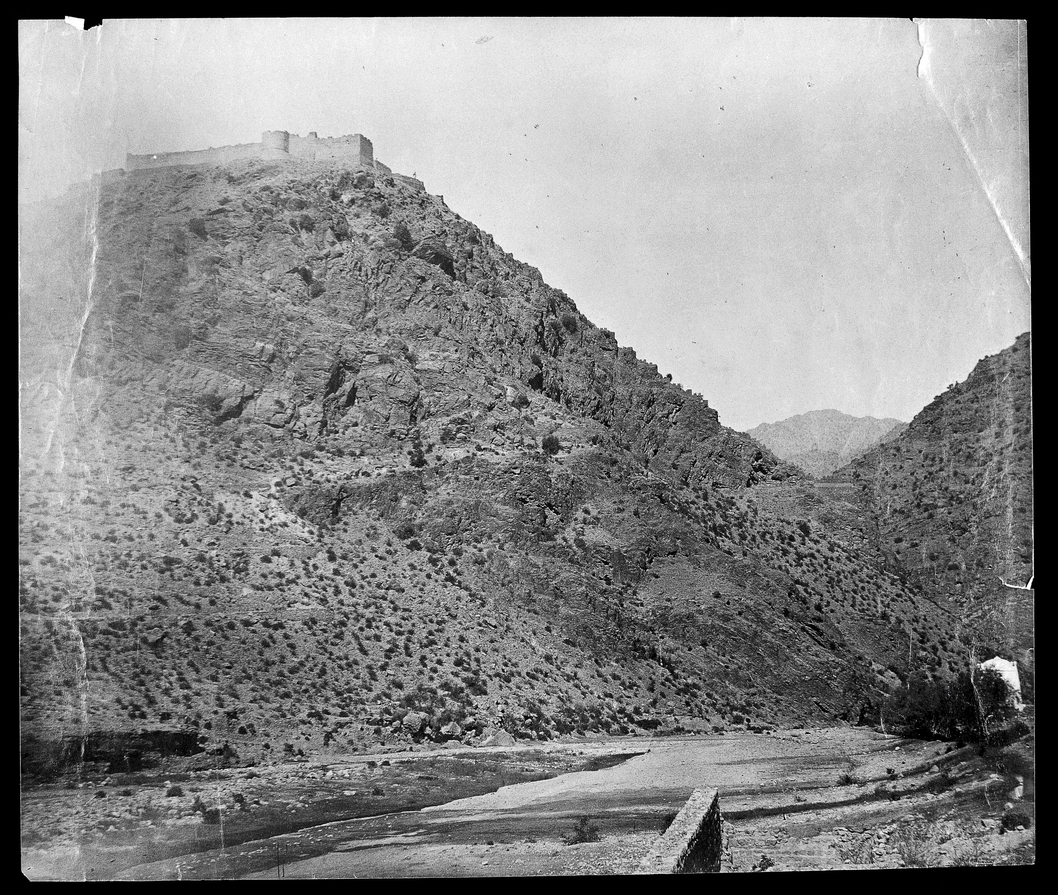
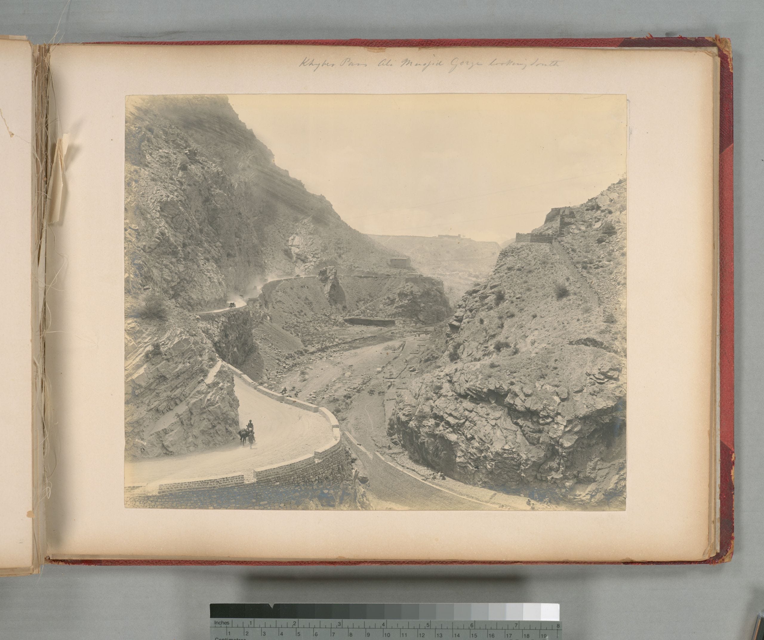
The most important spot in the pass was the fortress of Ali Masjid, where the pass was at its narrowest. There, two camels, loaded up with goods, couldn’t pass through at the same time. The spot had long been the site of a shrine to Ali, Muhammad’s son-in-law, who supposedly visited there in the 600s. But in the early 1800s, Afghan ruler Dost Muhammad Khan built a fort to command the area. You can get a sense of the terrain in this photo of the area, with the fort up on the hill:
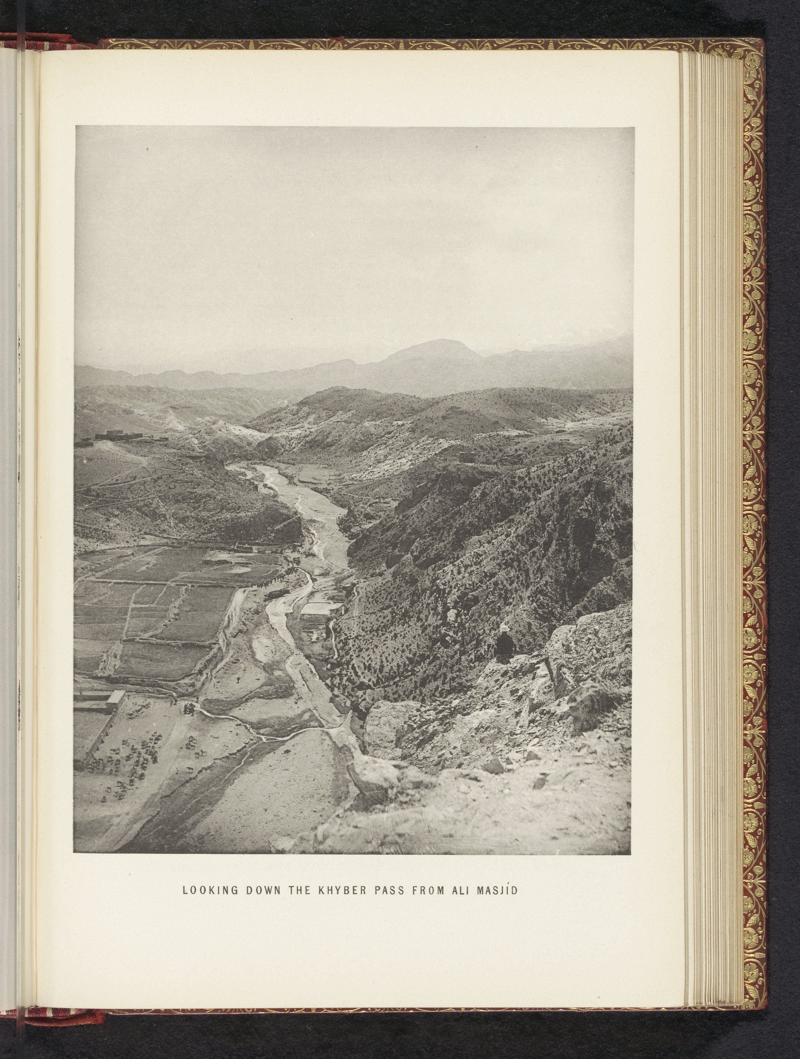
And this is the view from up in the fort:
I quite like this watercolor by a British general:
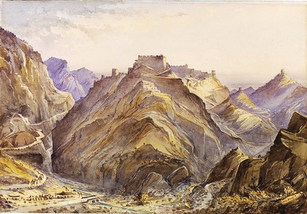
And this one, showing it from a different angle.
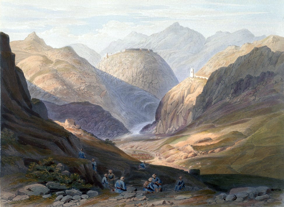
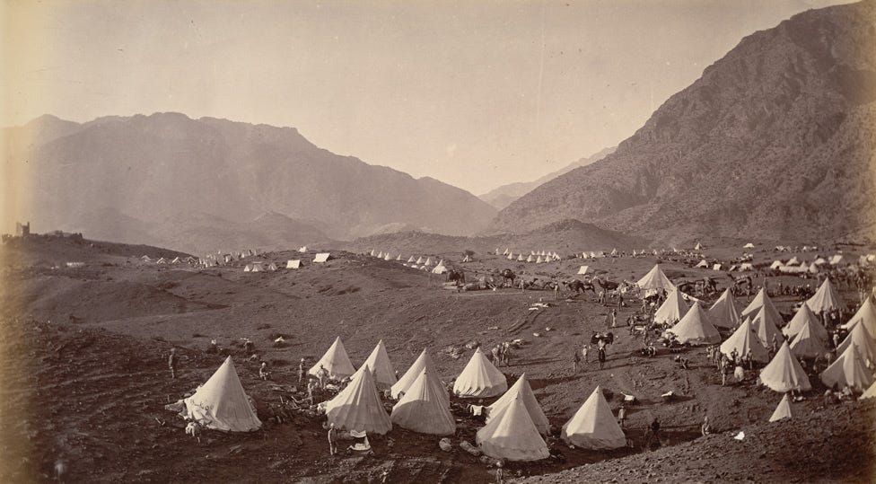
Ali Masjid was the site of several major battles. The British seized it in 1842 but were defeated and forced to abandon the pass to Afghan forces. In 1878, they captured the fort once again and took possession of the Khyber Pass. This is the British army encamped before their assault:
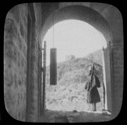
This 1895 photo shows an Indian soldier in the British military standing guard in the fortress:
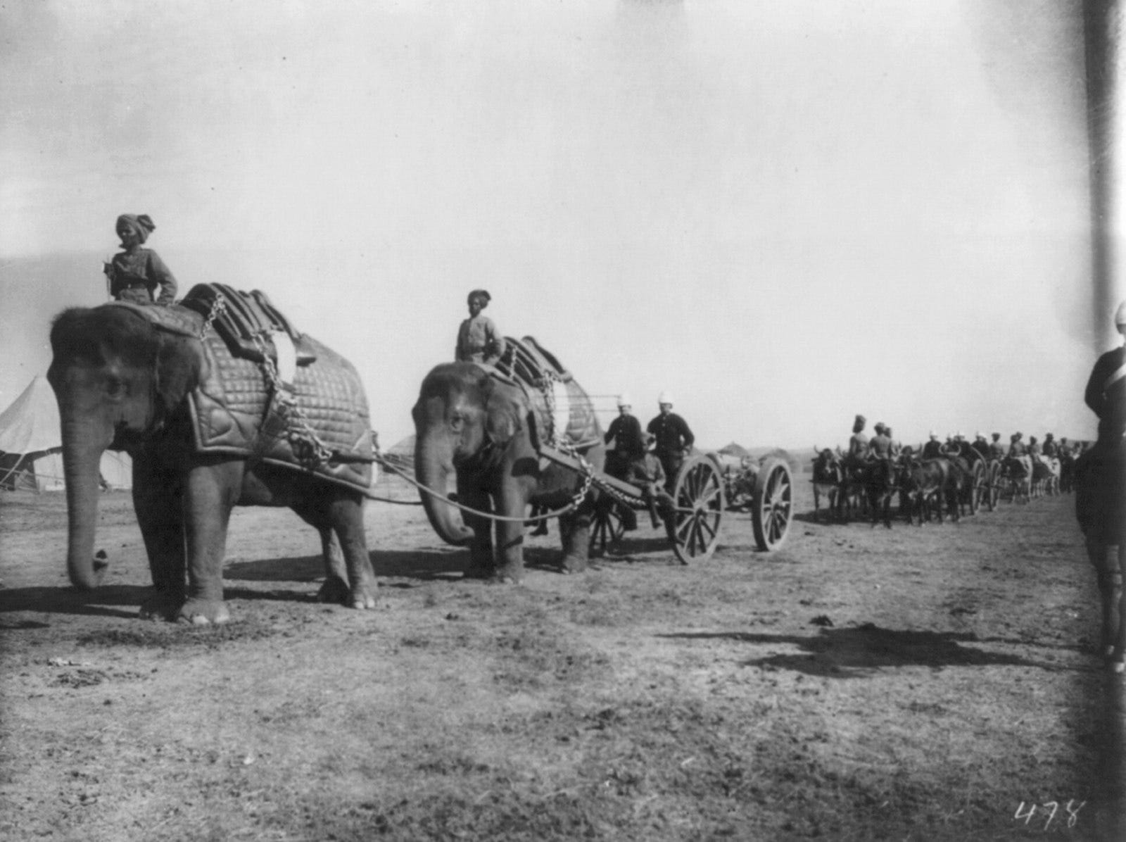
And here is an elephant-drawn artillery battalion making its way into the pass:
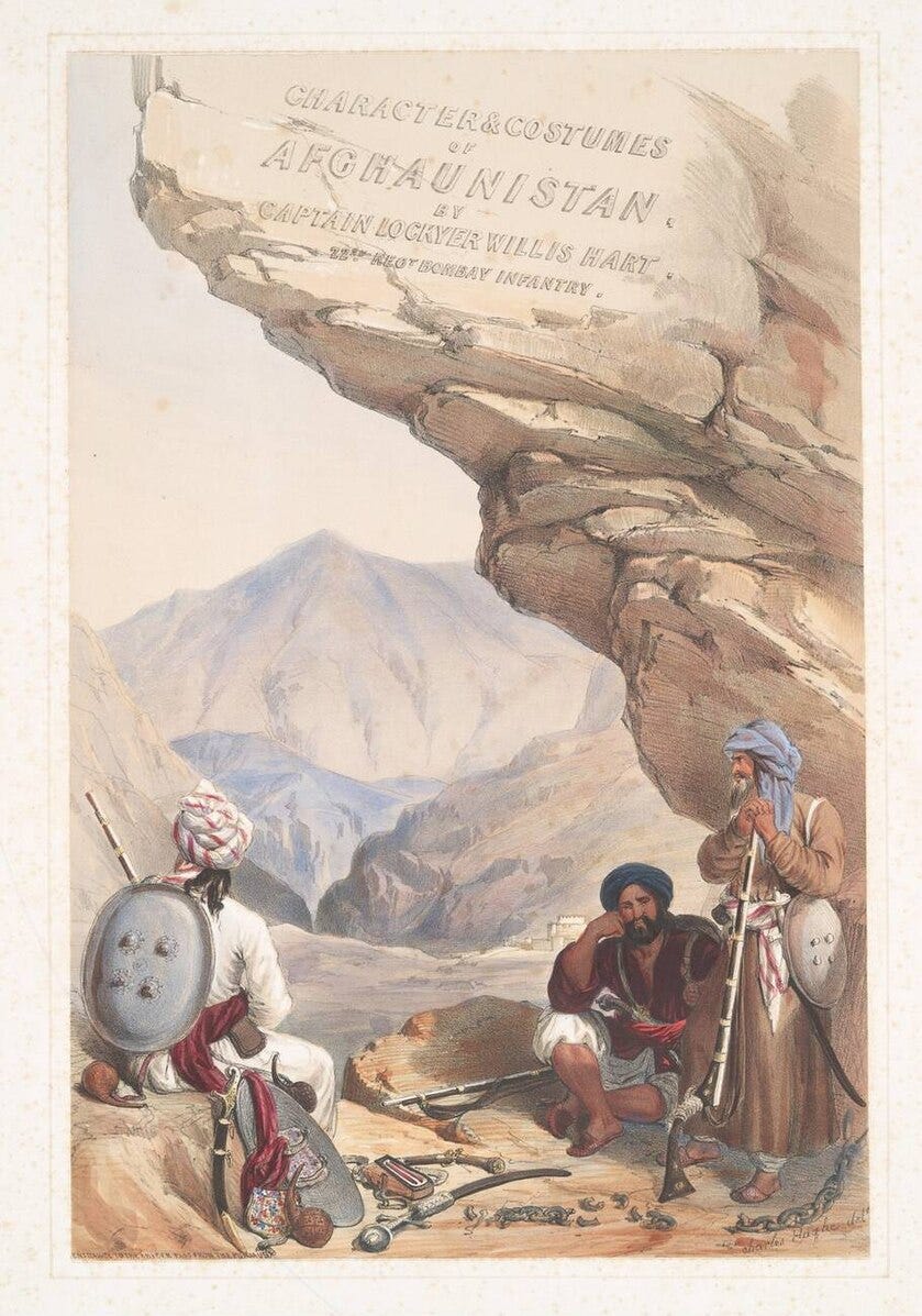
The Anglo-Afghan wars made the Khyber Pass famous in the West, an exotic land that featured on book covers:
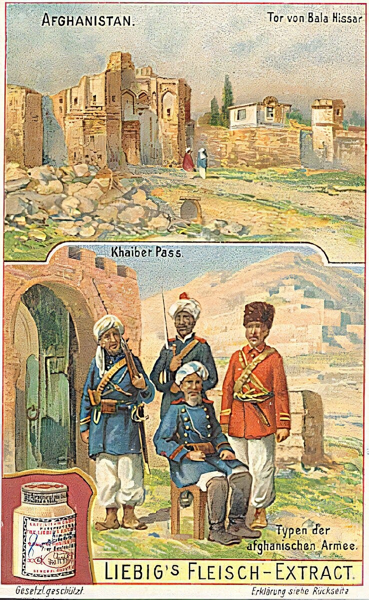
And advertisements for meat extract:
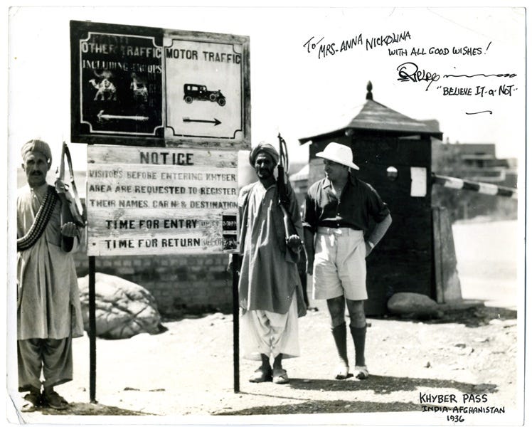
Even Robert Ripley (of “believe it or not” fame) made sure to visit in the 1930s, decked out in his pith helmet:
The Khyber Pass remains an important trade conduit between Pakistan and Afghanistan. It once again gained significance during the Soviet and American invasions of Afghanistan, a route by which men, material, and weapons came to devastate that country. It’s also not far from Tora Bora, the cave complex where Osama bin Laden lost his American pursuers and managed to slip into Pakistan.
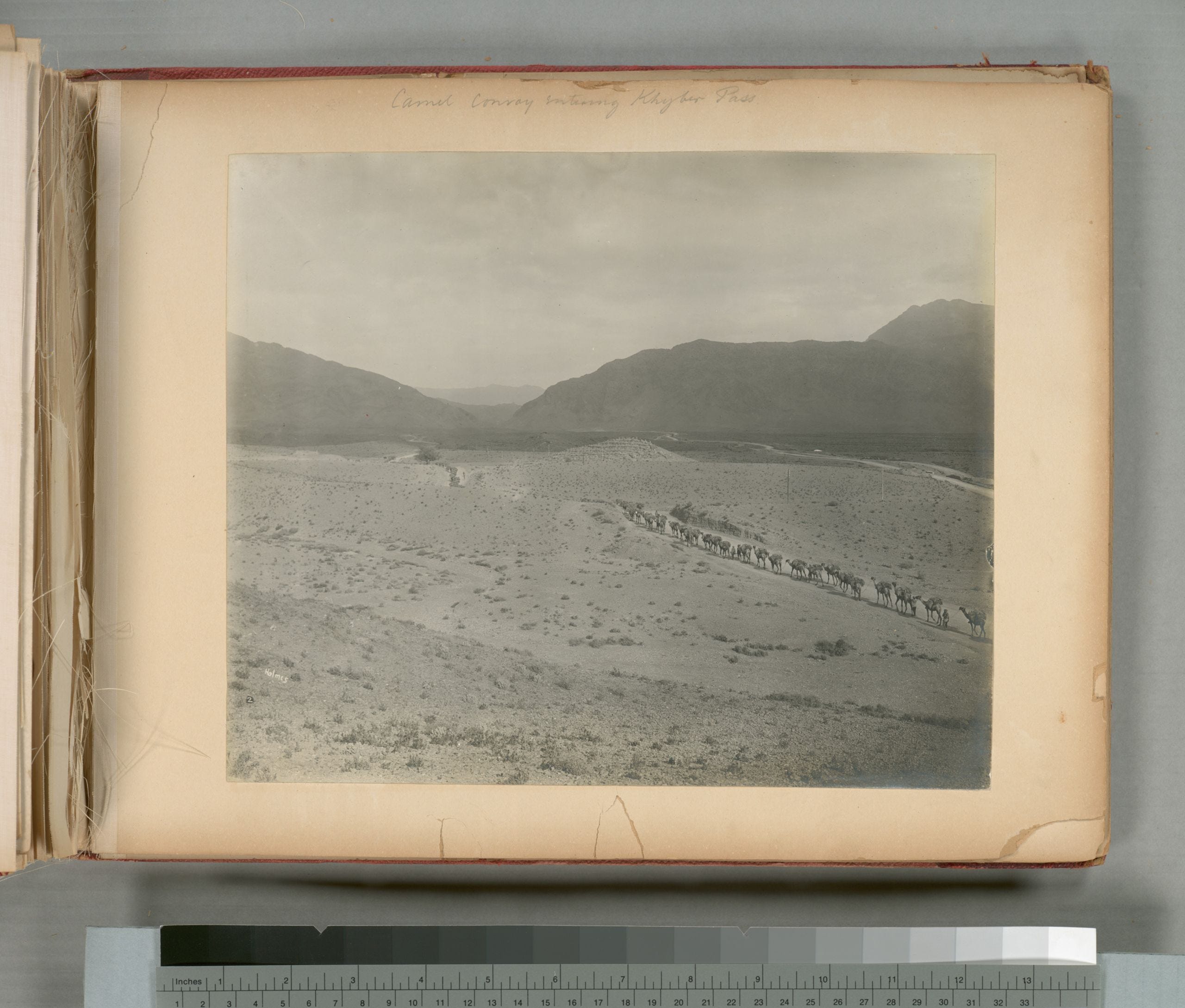
But I’d rather not focus on those dark days in Afghanistan, at least not right now. Let me leave you instead with some of my favorite images of the Khyber Pass, which come from a set of photos from 1919. Here’s a camel convoy entering the pass:
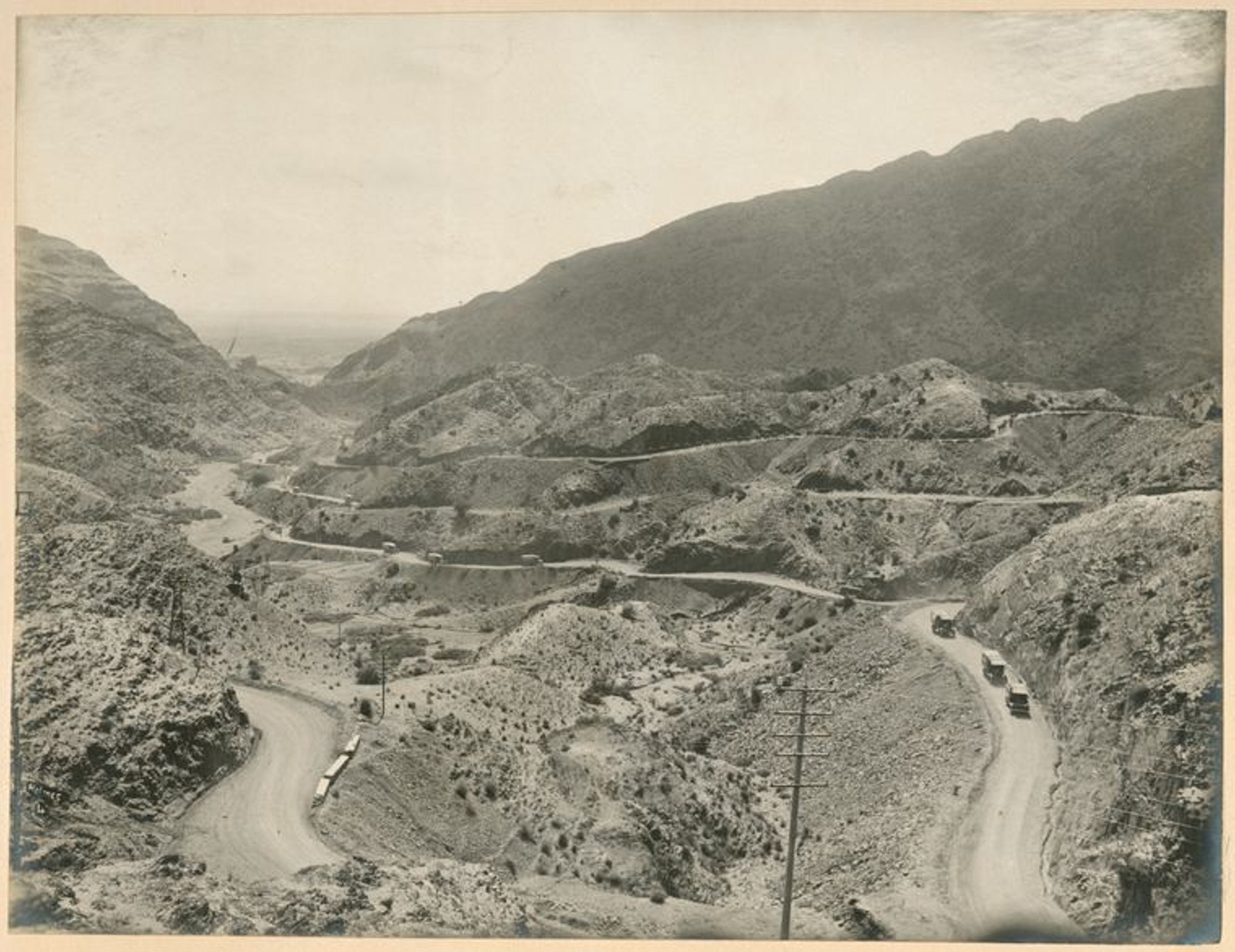
The tangle of roads traversing it:
And the narrow passage near Ali Masjid:
.jpg?scrlybrkr=5df5e672)
_Ispola,_between_Ali_Musjid_%26_Landi_Kotal._(Sphola_Stupa)_-_photo_by_John_Burke,_1878.jpg)


,_part_31_-_BL_Or._14915.jpg)


.jpg)


These photos show the Khyber Pass in all its stunning geography and stark beauty. They give a sense of the importance of this narrow passage through which so much of history has flowed.
This edition of the newsletter is free to all, but I count on the kindness of readers to keep it going. If you enjoyed reading this week’s edition, there are two ways to support my work:
You can subscribe as a free or paying member, which gets you access to the archives and members-only posts:
Or you can “buy me a coffee” by sending me a one-time or recurring payment:
Thanks for reading!
As a sixteen-year old, visiting my diplomat parents in Rawalpindi, I was invited by friends to join them on a
visit to the Khyber Pass. However, at Peshawar the local authorities strongly recommended that we abandon the trip due to ‘intense bandit activity’ there. Discretion was the better part of valour on that occasion. Such a pity.
Wow! I crossed the Khyber Pass three times in the 1970s, never knew anything about its history. It was always an adventure. I wrote about one scary time here: https://jessicarath.substack.com/p/crossing-a-dangerous-border